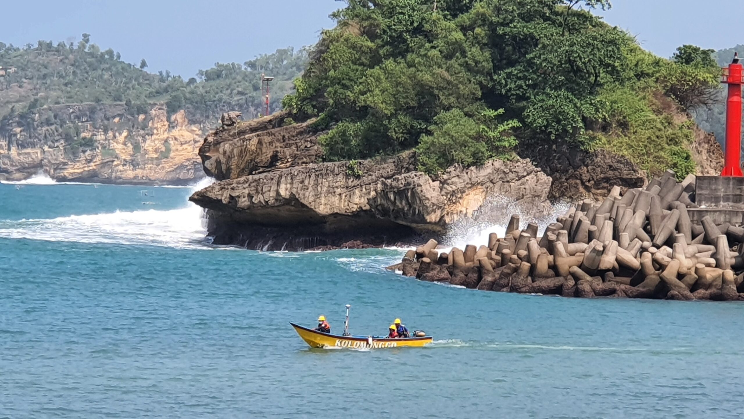


Underwater Seabed Mapping
We have expert and professional
team to perform Underwater Seabed
Mapping. Bathymetric measurements
are conducted with various methods,
from depth sounding, sonar and Lidar
techniques, to buoys and satellite altimetry. Equipment that we use for
Underwater seabed mapping is
Reson Seabat T20P, Teledyne ODOM MKIII, Valeport Mini SVP, TSS DMS 05
HPR Sensor, GPS Trimble BX992
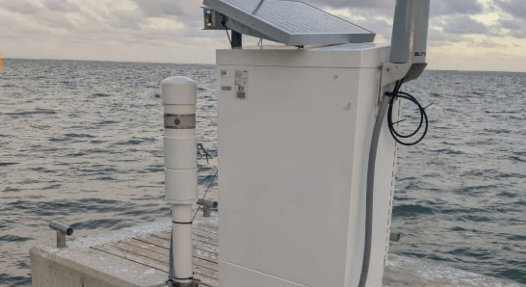
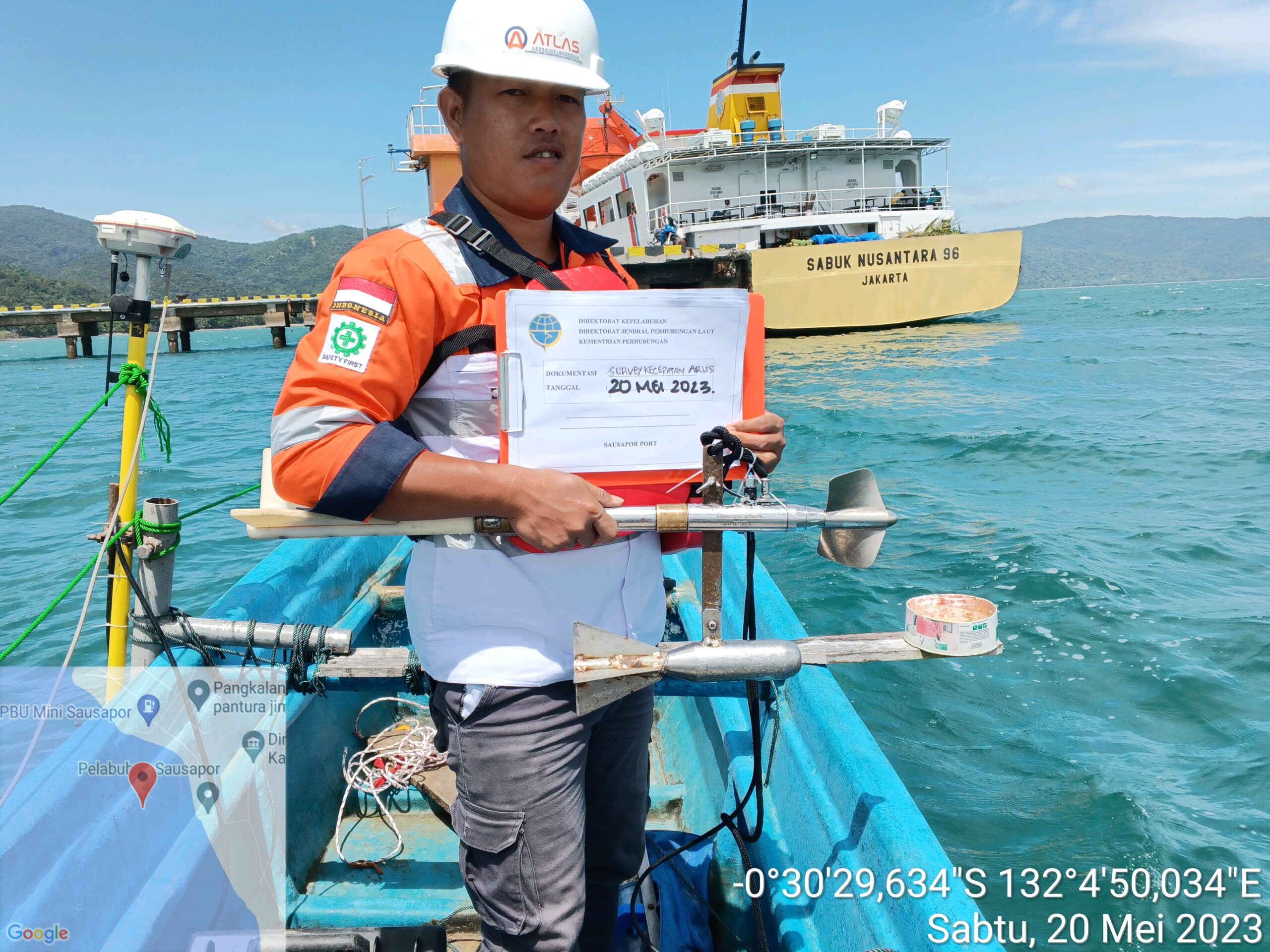
Tide Monitoring
We have the best team to
perform Tide Monitoring. Tide Monitoring can be used for supporting Dredging works operations, Marine Construction and Any other purposes. Equipment use for time Monitoring is Valeport tide master with
pressure sensor.
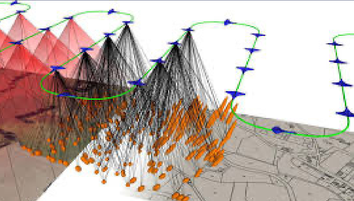
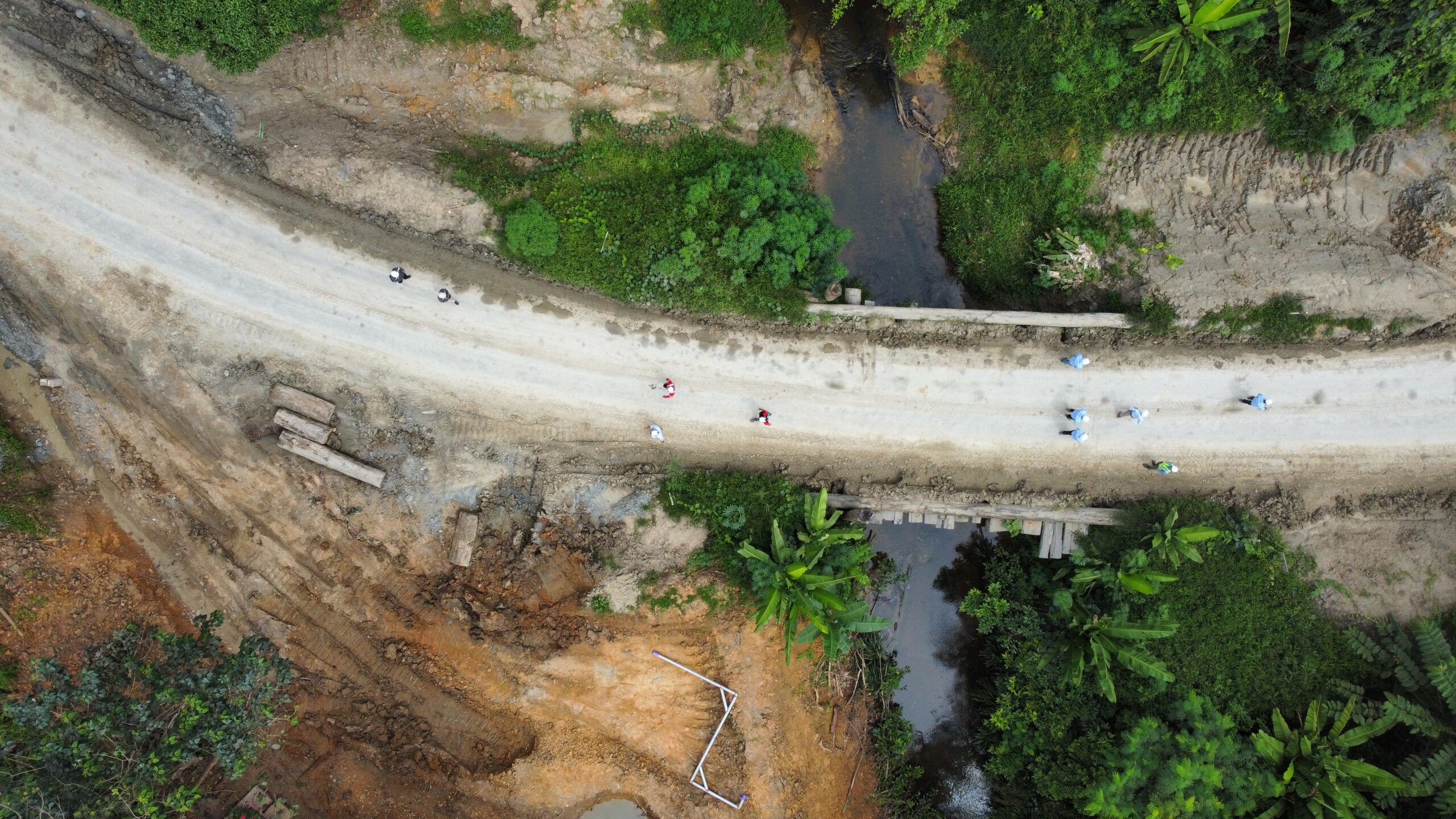
Aerial Mapping
We have expertise in conducting
aerial survey works with a certified drone
pilot. Aerial surveying can be used for
calculating gravel stockpile volumes,
mapping pipe stockpiles, measuring cut
and fill materials, and detailing objects.
Our team uses advanced
equipment such as DJI and other UAVs
(fixed-wing or propeller) with thematic
sensors (LIDAR or Multispectral),
DroneDeploy data acquisition software,
Agisoft Photoscan processing software,
and Trimble Business Center to ensure the
highest quality results.
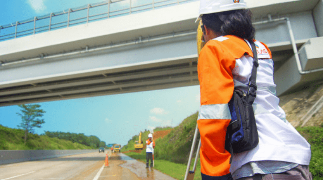
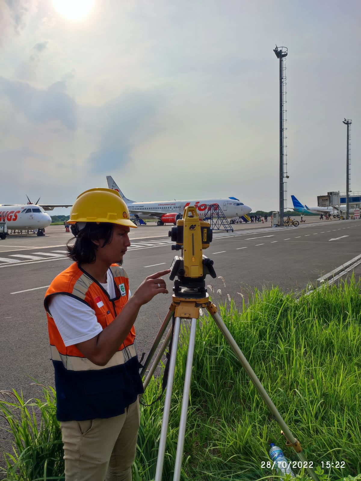
Topographic Survey
Our topographic survey project
involved a comprehensive analysis of
geospatial data using advanced tools and
techniques (RTK, PPP, Total Station).
Through several project such
as hauling road topographic at PT. Multi Tambangjaya Utama and detailing parking building at Semarang Airport (Angkasapura), our team gained extensive experience in surveying, mapping, and
terrain analysis, which allowed us to
accurately depict the natural features of the surveyed area. We utilized state-of-the-art equipment and technologies to ensure the highest quality results, and our team's
expertise in this field ensures that we deliver exceptional outcomes for all topographic survey projects.
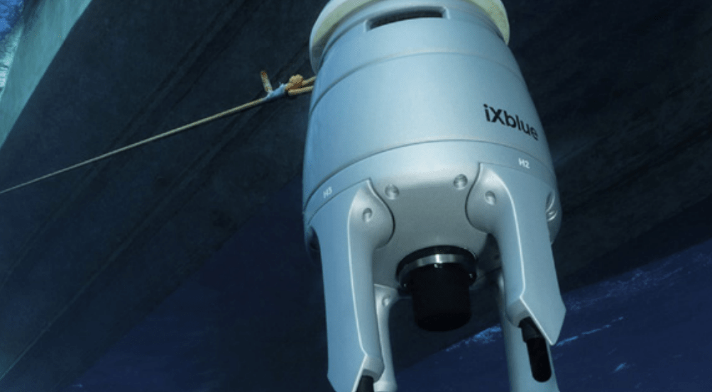
Underwater Positioning Using USBL
We have been involved in an
underwater positioning project using USBL to assist in identifying the position and direction of objects underwater mounted on ROV or diver, making research and exploration processes much more efficient at great depths (Sonardyne Ranger/Scout Pro). During our involvement in the underwater positioning project using USBL, we successfully completed our tasks, such as calibrating the USBL and gathering data for further analysis.

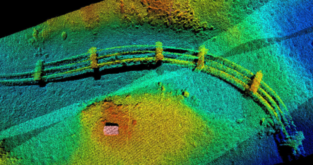
Underwater Imaging using Side Scan Sonar
Geophysical Survey Services at Cirata Floating PV System Area. Client PT.
Taka Hydrocore Indonesia. Equipment use C-Max Side Scan Sonar System.
Geophysical Survey for Reconstruction of Port Wani, Pantoloan And Donggala Central Sulawesi - Indonesia
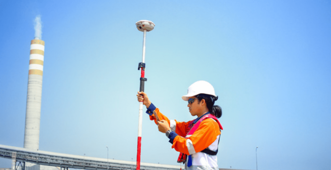
Positioning System Using GPS RTK (Real Time Kinematic)
Sea water Intake pipeline
installation using RTK Positioning system at
Tanjung Jati B 2x1000 MW CFSPP. Equipment
use GPS RTK Trimble R7 Rover, GPS Trimble
SPS 461 Base, Pacific Crest ADL Vantage
radio correction.
RTK Barge Management System
for support dredging and backfilling
works at Central Java 2x1000MW CSFPP.
Equipment use Trimble BX992, Trimble
SPS461, and Pacific Crest ADL Vantage
radio correction.
RTK Barge Positioning System on
CSD (Cutter Suction Dredger) for Support
Dredging and Sand Mining at Kuala
Teladas – North Lampung. Client PT Pasifik
Utama Line. Equipment use Hemisphere
H321 with Atlas H10 RTK Correction Service,
Land & Near Shore(<20Km
"ATLAS has helped our project succeed
by sending their expert to our Project at
Lampung. We need to fi nd a partner who
can meet our needs and work effi ciently. Our
vessel is monitored remotely, and we get
timely reports. This has helped us gain a good
reputation with customers."

Dedi Mukhtar
Project Manager - Pasifi k Utama Line